RUS Webinar: Ocean Colour Monitoring with Sentinel-3 - OCEA04
RUS Webinar: Land Monitoring with Sentinel-3 - LAND04
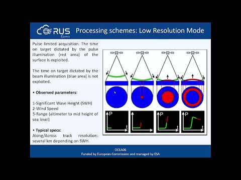
RUS Webinar: Altimetry with Sentinel-3 using BRAT - Part 1 - OCEA06
RUS Webinar: Coral Reef Monitoring with Sen2Coral - OCEA05
RUS Webinar: Sargassum Mapping in the Caribbean Sea - OCEA08
RUS Webinar: Urban Heat Island with Sentinel-3 - LAND09
RUS Webinar: Snow Cover Mapping with Sentinel-3 - CRYO05
RUS Webinar: Altimetry & Oceanography with the BRAT Toolbox - Part 2 - OCEA07
RUS Webinar: Freshwater Quality Monitoring with Sentinel-2 - HYDR02
RUS Webinar: Volcano Monitoring with Sentinel-2 - HAZA11
Assessment of Snow Properties from the Sentinel-3 Ocean and Land Colour Instrument SICE product
RUS Webinar: Oil Spill Mapping with Sentinel-1 - OCEA03
WEkEO Webinar N.4 — Ocean Colour using Copernicus Sentinel data
RUS Webinar: Coastal Erosion Monitoring with Sentinel-1 - COAS02
RUS Copernicus Webinar: Altimetry with Sentinel-3 using BRAT
RUS Webinar: Watching a Typhoon from space - HAZA06
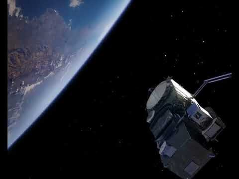
Sentinel-3 animation
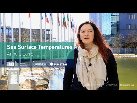
Sentinel-3: Sea Surface Temperatures
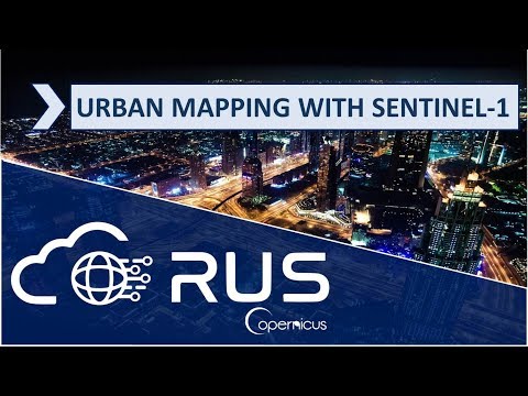
RUS Webinar: Urban Classification with Sentinel-1 - LAND06
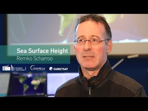
Sentinel-3: Sea Surface Height