KONSAB Tutorial 1 - Basics of Remote Sensing
KONSAB Web-Seminar 1 - Introduction to Remote Sensing
KONSAB Tutorial 3 - Creation of a Yield Potential Map
KONSAB Tutorial 2 - Find and Download Satellite Data on CODE-DE
KONSAB tutorial 4 - Creation of a fertilizer application map
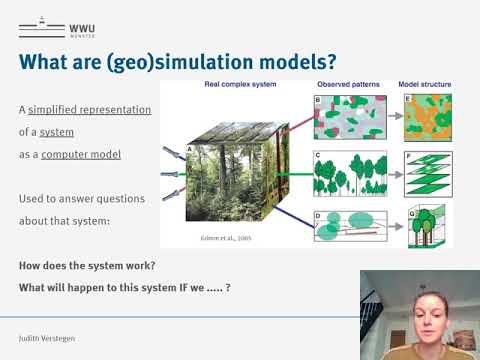
Geosimulation modelling - JUN. PROF. DR. Judtih Verstegen
Copernicus Daten mit FME einfach und effektiv nutzen
Holzwissen - Was versteht man unter Geodaten?
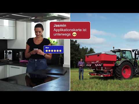
agrirouter -kinderleicht | Applikationskarten versenden | Rauch Landmaschinenfabrik GmbH
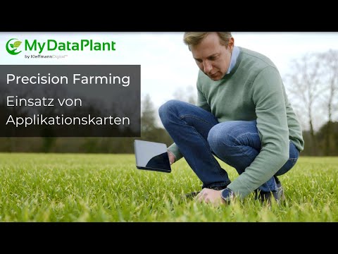
Kundenbeispiel: Einsatz von Applikationskarten in der Praxis
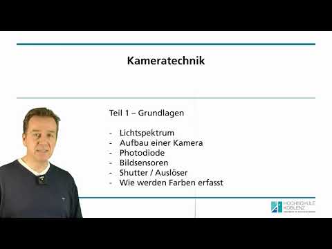
Mastermodul "Methoden der Fernerkundung" - Kameratechnik #1
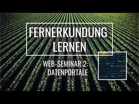
KONSAB Web-Seminar 2 - Introduction Data Portals
2021 - Regelmäßiges nationales Monitoring der Landbedeckungsänderungen mit Copernicus-Daten
Fernerkundung in der Landwirtschaft
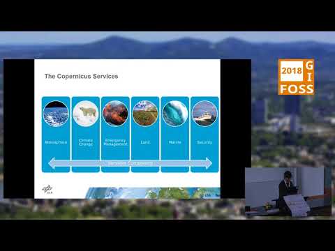
2018 - CODE-DE - der nationale Zugang zu Copernicus-Daten für Deutschland
Was macht Ihr eigentlich in der Fernerkundung in Bonn?
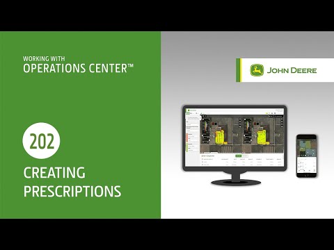
Erstellen von Applikationskarten
Partnerbeitrag ARC-GREENLAB: Imagery in der Praxis – Drohnen und ArcGIS Site Scan in Projekten
KONSAB web seminar 4 - Creation of a fertilizer application map
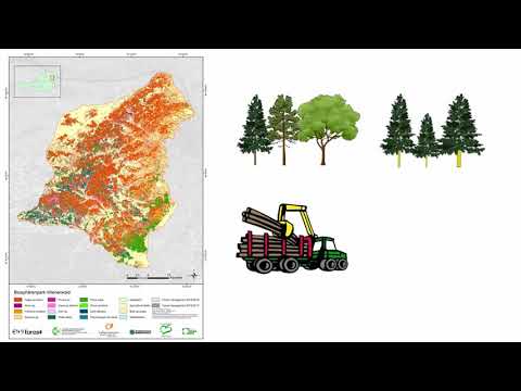
11 Sentinel - Satellitendaten für forstliche Anwendung